GeoLogic equipment

Founded in 1996, GeoLogic Computer Systems marked its debut in the GPS-based construction products industry back in 1998. It was in 2012, however, that the company reached a major milestone with the launch of its latest GPS landfill system, the GeoLogic Orion™. Since then, no other software solution on the market has been able to match it in terms of functionality, customer support and ease of use, all at such a great price.
GeoLogic Computer Systems’ success in the industry is due to its approach to product development, which rests on two essential pillars: constant improvement of GPS solutions and close collaboration with its customers. Every decision it makes is guided by these principles, guaranteeing their customers exceptional service and products of unrivalled quality.
Thanks to this corporate philosophy, GeoLogic Computer Systems has set itself apart from the competition and positioned itself as an industry leader, offering its customers an incomparable GPS solution experience.
Available products
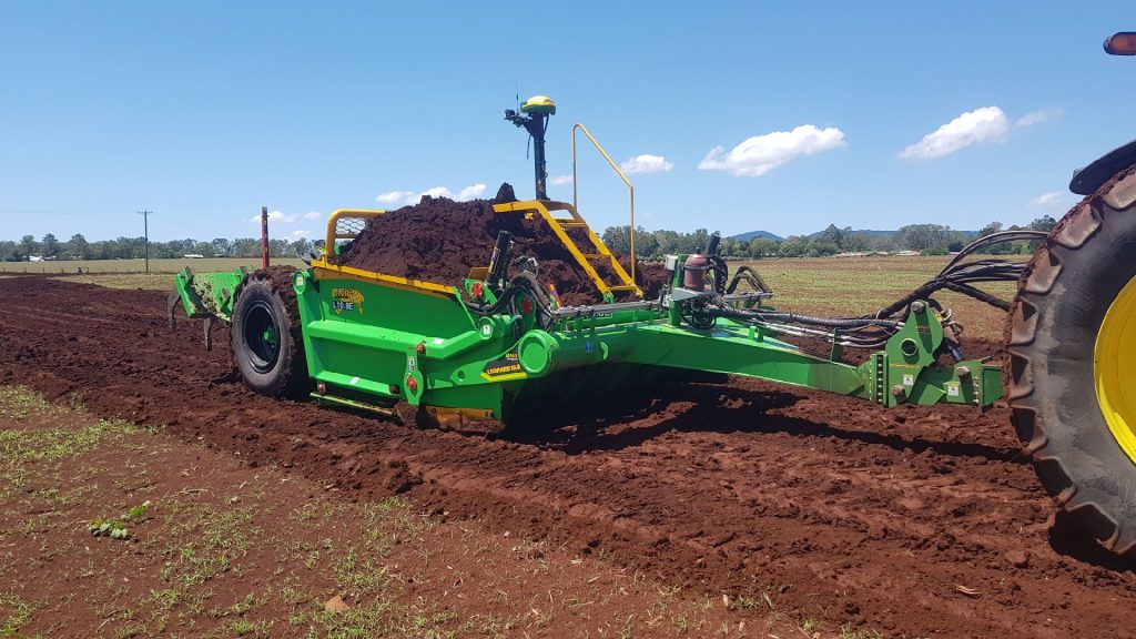
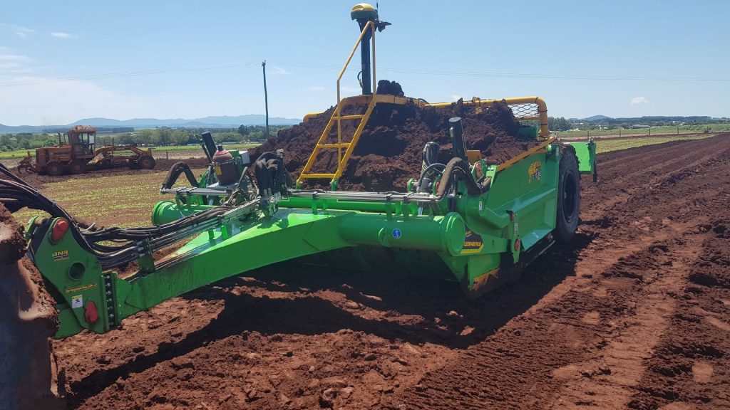
GeoLogic Computer Systems (GCS): Level
GCS: Level is the leading point-and-shoot option for land leveling.
Designed as a simple alternative to a laser and leveraging RTK GNSS technology, GCS:Level works seamlessly with OptiSurface InCab or GradePlane software for simple single plane best-fit designs. What’s more, it supports two channel outputs, enabling both elevation and cross-slope adjustments.
GCS:Level uses that same controller as GCS:Dirt, providing the advantage of direct connection to today’s tractors.
GeoLogic Computer Systems (GCS): Ditch
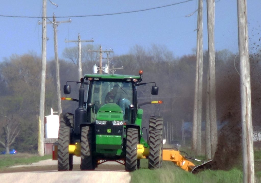
GCS: Ditch: GeoLogic’s state-of-the-art solution for efficient surface drainage.
This revolutionary system, powered by DAO (Depth At Optimum) technology, makes it simpler to build drains and ditches by displaying a real-time definition of the optimum grade and depth based on the existing ground. Simply enter a minimum grade and maximum depth, and DAO does the rest!
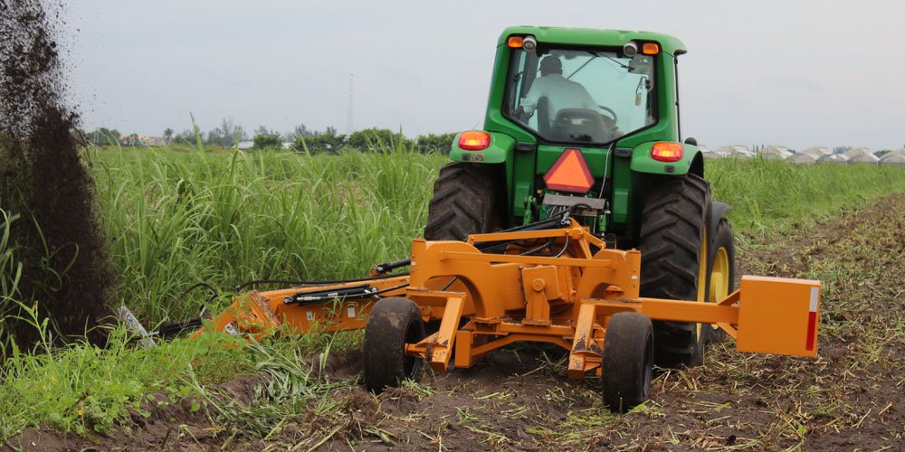
GCS:Ditch works seamlessly with today’s operations, whether they involve high-speed ditchers, pull-type graders or dirt pans.
GeoLogic Computer Systems (GCS): Dirt agricultural
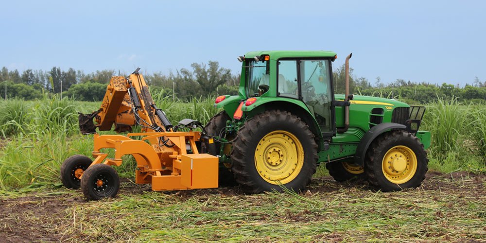
GCS: Dirt provides the highest-accuracy GPS machine control for agricultural applications such as earthmoving, land forming and land leveling.
Using GCS: Dirt software and RTK GPS, you can build on a TIN surface with high precision.
GCS: Dirt helps control water flow over the entire surface. Machine-controlled grading will provide the accuracy needed to eliminate standing water on the surface of irrigated fields, improving yields and eliminating yellowed or stunted crops due to inefficient irrigation or poor drainage.
GeoLogic Computer Systems (GCS): Dirt construction
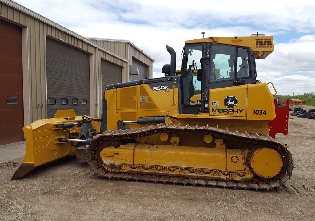
GCS: Dirt is a competitively priced alternative to earthmoving machine-control software from other well-known brands such as Trimble, Topcon and Leica. GCS: Dirt lets you import plan data from most earthmoving and CAD design software on the market. It also supports industry-standard import formats such as DXF and or LandXML.
The software can control a wide variety of machinery, including towed scrapers, pull-type graders, motor graders, bulldozers and high-speed finishing scrapers. With GCS:Dirt, you can control two towed scrapers through a direct-connect interface to most new tractors, eliminating the need for an external valve. The upgraded version of GCS:Dirt supports up to three control channels.
Learn more on GeoLogic
Would you like to find out more about the full range of GeoLogic Computer Systems products?
